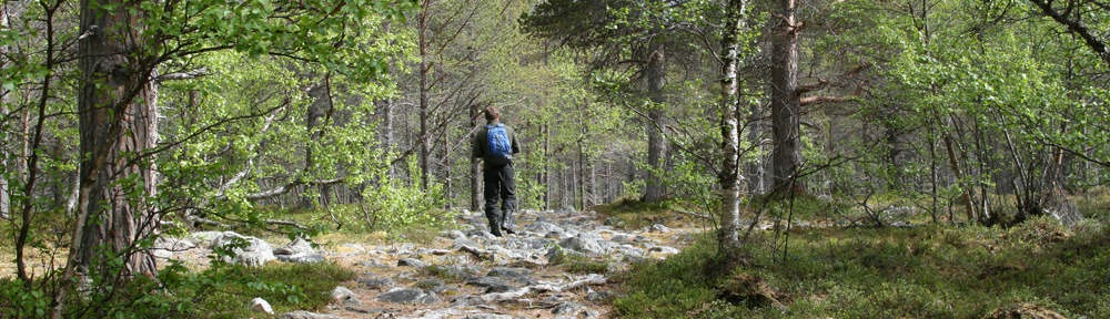
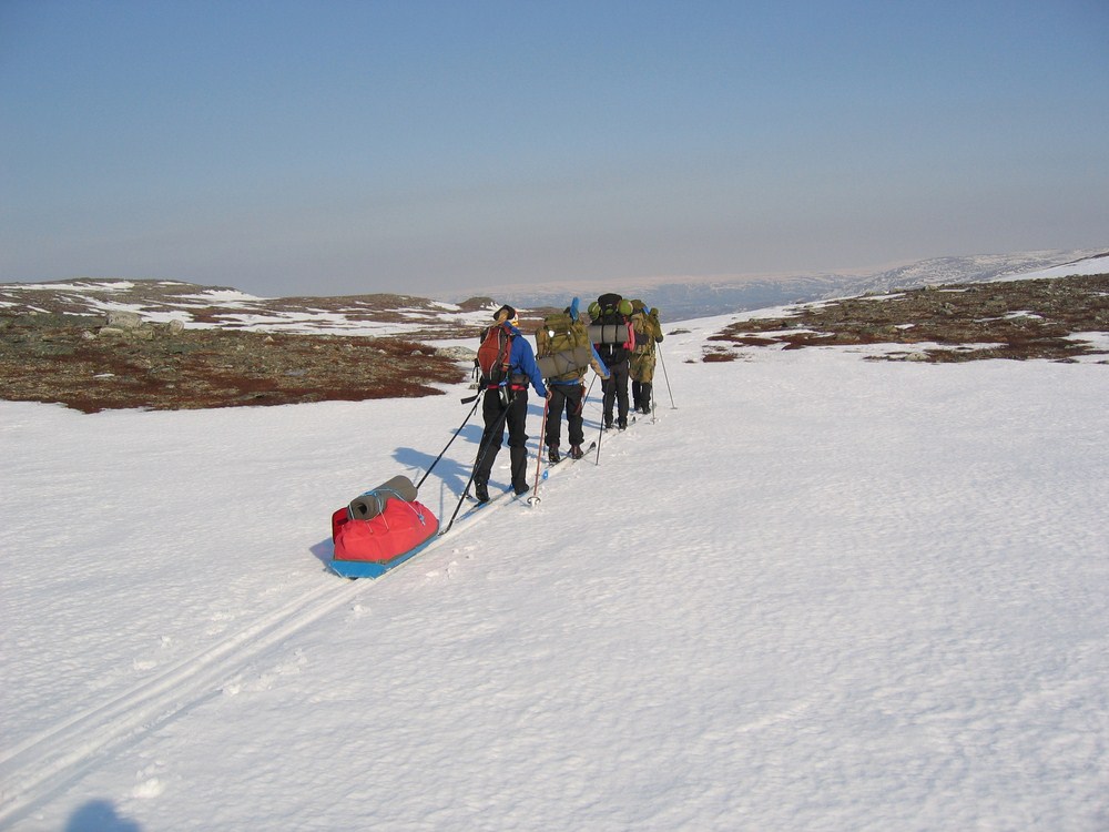
The Stabbursdalen valley offers great areas for hiking and, during winter, cross country-skiing. Some trails are marked, and there are open cabins which you are welcome to use. The map “Stabbursdalen» 1:50 000 covers the whole area, and can be bought at Stabbursnes Naturhus and Museum.
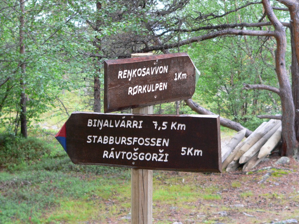
Rørkulpen (map) – from the car park at the end of Lombolaveien (8 km from the national park centre) there is a marked trail to Rørkulpen (a river pond). It is an idyllic spot in the pine forest down by Stabburselva. There you will find a fireplace and seating. The trail is less than 1 km long, and is marked with bars painted green on the top.
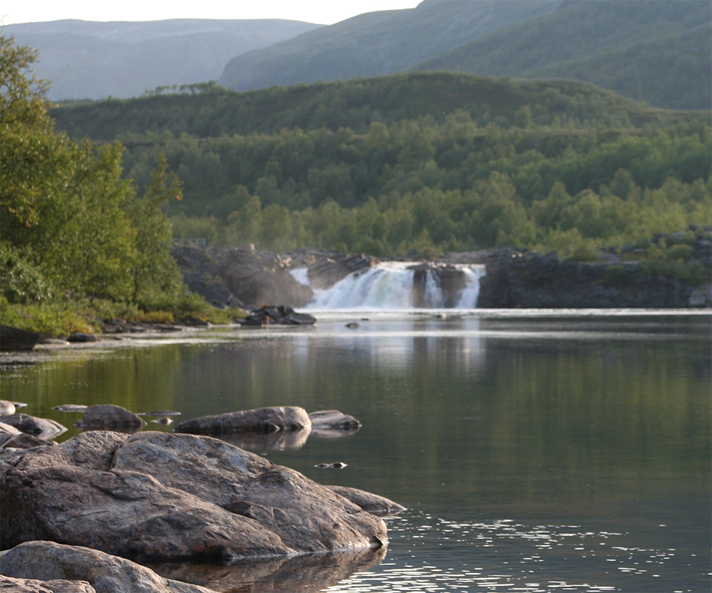
Stabbursfossen waterfall (map) – from the car park at the end of Lombolaveien (8 km from the national park centre) there is a marked trail to the waterfall Stabbursfossen. The trail passes through varied terrain; open plains, pine- and birch forests. It is about 5.5 kilometers distance from the parking lot to Stabbursfossen waterfall. The trail is marked with poles painted blue on top.
Stuorra Biŋalvárri (map) – from the car park at the end of Lombolaveien (8 km from the national park centre) there is a marked trail to Stuorra Biŋalvárri, which is one of the major peaks in Stabbursdalen National Park. The trail varies from pine forests, to lush Lombola to bare rocks on the mountain top. From the peak there is a great view to the scenery of Stabbursdalen, Stabbursneset and the Porsanger fjord. The trail is approx. 7.5 km long. The starting point is 60 meters above sea level, and the peak 528 m above sea level. The trail is marked with bars painted red on top.
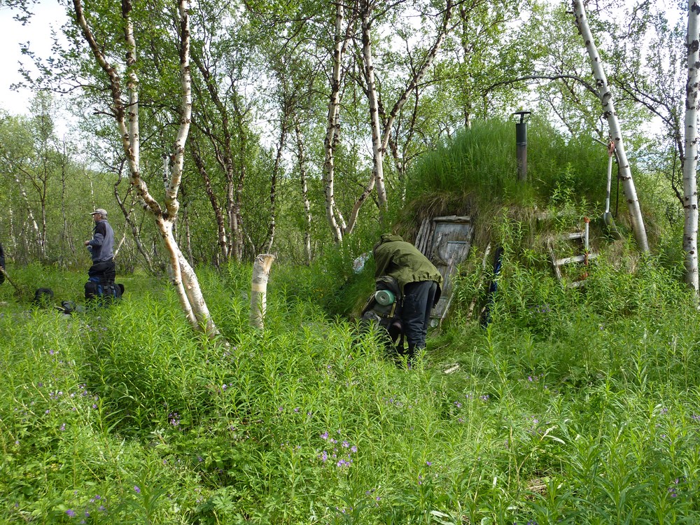
Okselv – Stabbursnes (map) (about 44 km) – The trail starts from Okselv (50 km north of Alta on the E6). You can get here either by car or by bus from Alta or Lakselv. From Okselv the trail is situated in open moorland and gentle rock formations. The trail runs eastwards along the Stabbursdalen valley. After 8 km of pleasant walk you will arrive at “Ivarstua” – a small cabin. The cabin was restored in 2012 and is suitable for 5-6 persons.
From Ivarstua the trip goes through birch forest eastwards. Eventually you will come up on the bare mountain, called Batnalas. After a few kilometers you will reach the gravel road down to Snekkernes. From Snekkernes you will follow the road to Stabbursnes. From Ivarstua to Stabbursnes it is approximately 20 km. From Stabbursnes you can travel by bus to Alta, Hammerfest or Lakselv.
2 thoughts on “Walks in Stabbursdalen valley”
Comments are closed.